Revision as of 17:40, 4 December 2019
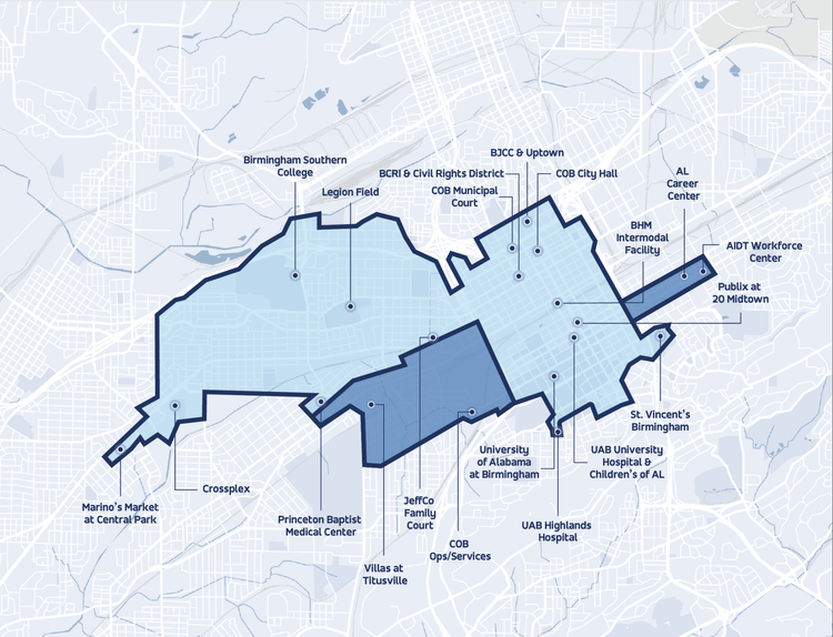
Service area map for Birmingham On-Demand microtransit program.
| Fair Use media
|
| This work is subject to copyright and/or trade mark protection. It is used here without express permission under the legal doctrine of Fair Use. Rights to the work remain the sole property of the creator. See Bhamwiki:Copyrights for further information.
|
| Media Type: Map
|
| This is a map or part of a map, the design of which may be protected by copyright.
|
File history
Click on a date/time to view the file as it appeared at that time.
| Date/Time | Thumbnail | Dimensions | User | Comment |
|---|
| current | 09:33, 2 October 2022 |  | 750 × 574 (482 KB) | Dystopos (talk | contribs) | |
| 17:40, 4 December 2019 | 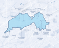 | 768 × 619 (565 KB) | Dystopos (talk | contribs) | Service area map for Birmingham On-Demand microtransit program. {{Fair Use}} {{Map}} |
You cannot overwrite this file.
File usage
The following page uses this file:
This file contains additional information, probably added from the digital camera or scanner used to create or digitize it.
If the file has been modified from its original state, some details may not fully reflect the modified file.
