File:County Line locator map.png: Difference between revisions
Jump to navigation
Jump to search
(Map showing the size and location of County Line in Blount County and in Alabama. Created by Wikipedia User:Arkyan using Census Bureau data and released under multiple licenses, including CC-BY-SA 3.0. ([http://commons.wikimedia.org/wiki/File:) |
(No difference)
|
Revision as of 15:04, 22 June 2010
Map showing the size and location of County Line in Blount County and in Alabama. Created by Wikipedia User:Arkyan using Census Bureau data and released under multiple licenses, including CC-BY-SA 3.0. (link to original at commons.wikimedia.org)
| Image License | |
| This image is licensed under the terms of Creative Commons Attribution Share-Alike v3.0 | |
File history
Click on a date/time to view the file as it appeared at that time.
| Date/Time | Thumbnail | Dimensions | User | Comment | |
|---|---|---|---|---|---|
| current | 15:04, 22 June 2010 | 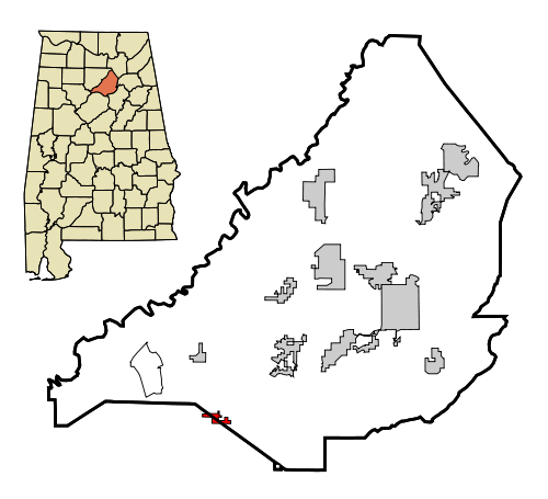 | 500 × 455 (59 KB) | Dystopos (talk | contribs) | Map showing the size and location of County Line in Blount County and in Alabama. Created by Wikipedia User:Arkyan using Census Bureau data and released under multiple licenses, including CC-BY-SA 3.0. ([http://commons.wikimedia.org/wiki/File: |
You cannot overwrite this file.
File usage
The following page uses this file: