File:St Clair Correctional aerial.png
Jump to navigation
Jump to search
No higher resolution available.
St_Clair_Correctional_aerial.png (575 × 328 pixels, file size: 428 KB, MIME type: image/png)
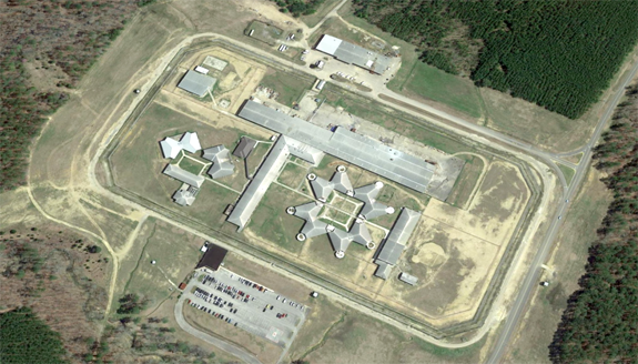
Aerial view of the St Clair Correctional Facility from Google Earth
File history
Click on a date/time to view the file as it appeared at that time.
| Date/Time | Thumbnail | Dimensions | User | Comment | |
|---|---|---|---|---|---|
| current | 10:37, 17 September 2023 | | 575 × 328 (428 KB) | Dystopos (talk | contribs) | Aerial view of the St Clair Correctional Facility from Google Earth {{GMap}} |
You cannot overwrite this file.
File usage
The following page uses this file: